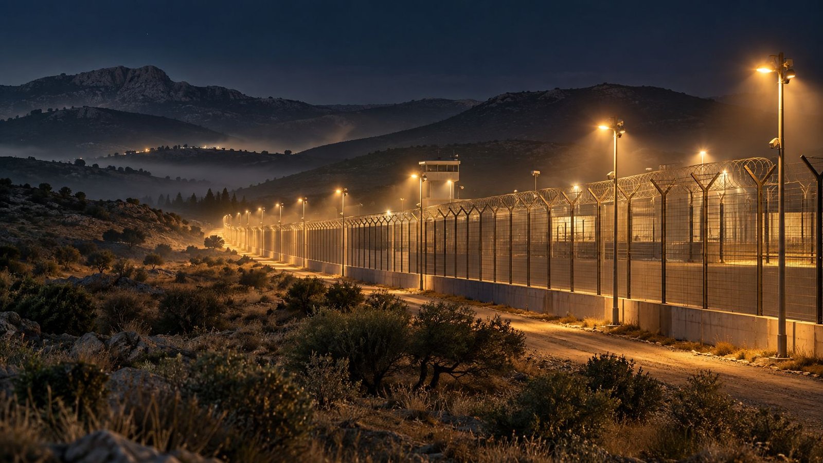
Protecting a fixed facility
Human intrusion, wildlife incursions into sensitive areas and night-time surveillance, where foot patrols and CCTV lose effectiveness.
Conceptual image generated with AI
01 The challenge
Current resources are fixed, reactive, staff-intensive and have structural blind spots.
Human intrusion, wildlife incursions into sensitive areas and night-time surveillance, where foot patrols and CCTV lose effectiveness.
A temporary deployment has no surveillance of its own and no pre-installed infrastructure, precisely when it is most vulnerable.
After an incident, information arrives late and fragmented: loose photos, verbal reports, maps that are months old.
02 The solution
VIGIA replaces reactive surveillance with an observation → detection → alert → decision loop that is unattended and resilient.
By day and by night, with no human presence on site.
The thermal signature of a person hidden behind vegetation, or the NIR contrast of a silhouette.
The AI tells wildlife from intrusion, places the detection on the map and alerts the post.
When an alert is raised, they take remote control to confirm and identify.
Vehicle-mounted, it brings the capability to a deployment or to an incident area.
Georeferenced orthomosaic and site report.
03 How it works
Area of interest, patrol plans, mapping missions and alert rules on the GIS engine.
Scheduled and autonomous, or semi-assisted from the command post. Switchable at any time.
Detection, classification and location in visible, NIR and thermal, with multispectral fusion.
Type, confidence, position and image sent to the post. The entire sequence is logged.
04 Technology
A compact vertiport houses, protects, recharges and launches the drone. Same drone, same command, same AI and GIS, whether fixed or vehicle-mounted.
A box of approximately 50 × 50 × 50 cm with self-centring landing and inductive charging.
Visible, near infrared (NIR) and thermal infrared (LWIR), fused to reduce false positives.
Person, group, vehicle or animal, classified on board and at the node.
GIS engine with preloaded maps and high-resolution orthomosaics generated by the drones themselves.
Communications encrypted with VPN and digital certificate, and a secrets vault that renders keys unusable if tampered with.
Hybrid power (grid or solar) and hybrid communications (local network, satellite or 5G).
| Current resource | What VIGIA adds |
|---|---|
| Guard posts and fixed CCTV | Repositionable aerial coverage, with no blind spots and multispectral vision |
| Foot patrols | Autonomous aerial patrols, with no staff exposure or fatigue |
| Alert after the intrusion | Early detection and classification on the outer perimeter |
| Unused video footage | AI that recognises, classifies, locates and alerts; a searchable history |
| Static maps | High-resolution mapping by the drones themselves |
| Late incident report | Immediate, georeferenced survey: orthomosaic, thermal layers and report |
05 Application
Unattended vertiports for permanent perimeter surveillance of facilities and extensive perimeters.
A forward command post that deploys the drones wherever it goes: to protect a position or to map and document an incident.
It scales from one node to a network of interconnected nodes, with a common operational picture, without changing platform.
06 Gallery
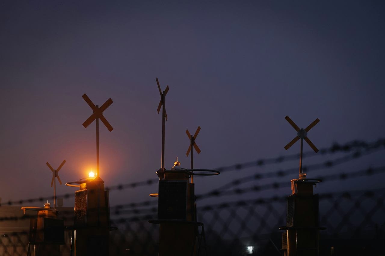
07 Outcome
The multi-station command and control, common operational picture and encrypted IP operation capabilities that VIGIA relies on have already been validated in operation.
Command and control platform validated in real flight.
Integration of the drone and vertiport system.
Surveillance tests in a real environment.
Results from the real-environment tests will be published when available.
Next step
We analyse your facility and define how VIGIA fits into your operations.