Faster, more energetic
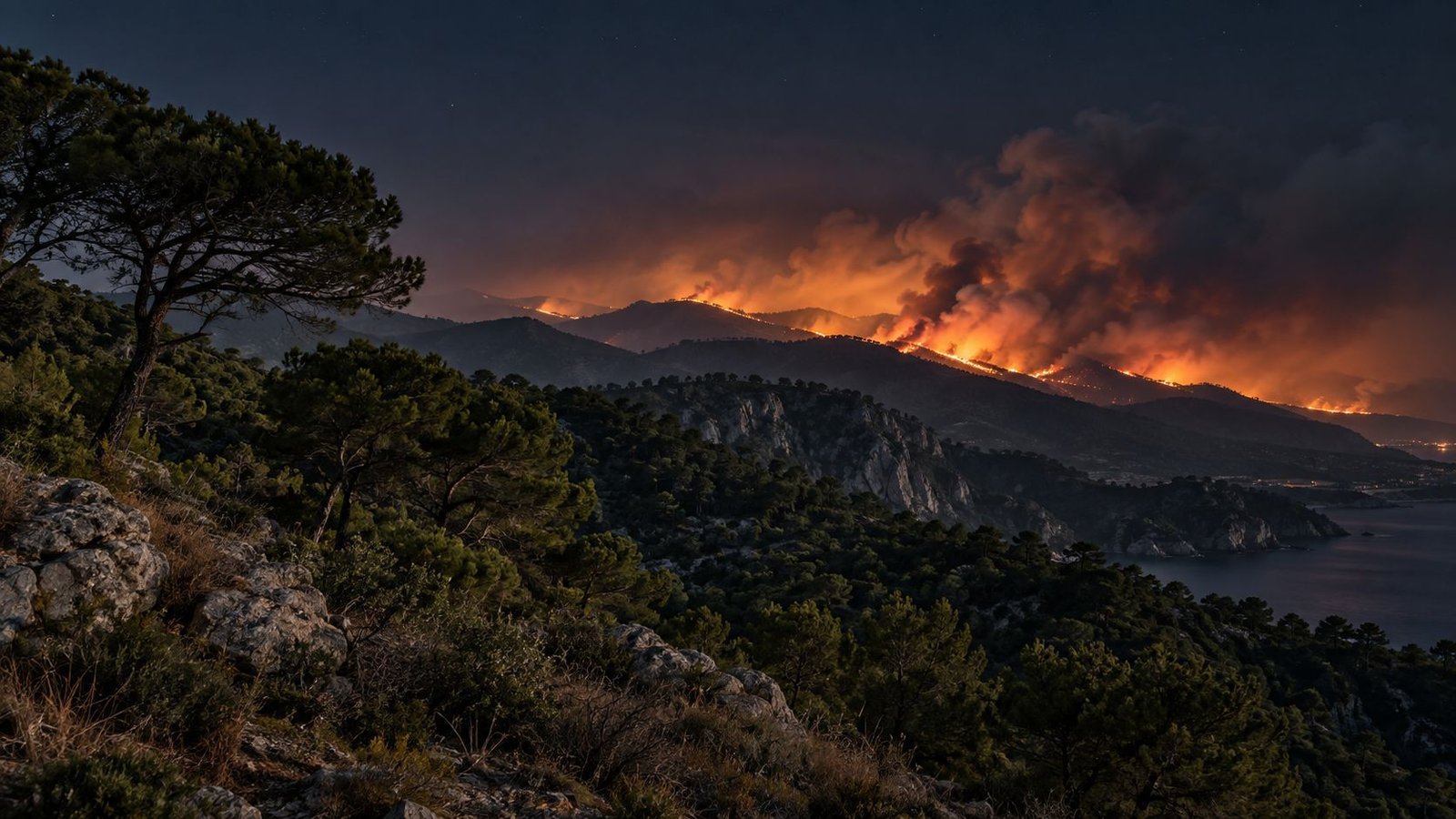
Wildfires in southern Europe spread faster, and the chain of command is still working with data that arrives late.
Conceptual image generated with AI
01 The challenge
Wildfires in southern Europe spread faster, and the chain of command is still working with data that arrives late.
Satellite imagery, old maps and radio support decisions while the fire front changes in minutes.
Crewed aerial resources withdraw at nightfall. The fire does not. That is when the highest-risk window opens.
02 The solution
Detection, prediction, protection and command, brought together in one system, by day and by night.
Thermal and visual monitoring of the perimeter and of how the fire front evolves.
A dynamic model combining wind, topography and humidity to anticipate where the fire is heading.
Vital signs and position in real time, cross-referenced with thermal imaging from the accompanying drone.
A single command centre receives and translates information from every responder.
03 How it works
Accompanies and protects the ground team, extends communications as a mobile relay and provides immediate thermal vision.
Spread prediction, thermal detection of people and wildlife at risk, and uninterrupted vision, including at night.
Inspection of critical infrastructure, support for evacuation routes and targeted search.
If a firefighter’s heart rate rises as the fire front closes in, command knows before it becomes a medical emergency.
Personal vital-signs and position sensor + thermal vision from the support drone = early warning.
04 Technology
Built on the same platform as VIGIA: the same AI engine, the same communications architecture, the same data language.
Thermal infrared (LWIR) across the whole fleet and near infrared (NIR) with steerable illumination.
On-board classification of person, wildlife, vehicle or structure, to reduce false alarms.
LoRa network as the backbone, a 5G bubble where available, end-to-end encryption.
Translates each responder’s methods into a common data layer.
Integrated into a tactical vehicle: deployment, recharging and communications hub in the field.
Each lead activates the information layers they need, on top of a single shared data set.
05 Application
AEROFIRE provides visibility and data; the emergency authority decides and operates. No ambiguity.
Regulatory fit analysed from the design stage (AESA, ENAIRE, Civil Protection), before operating.
Critical components assessed against European technological sovereignty criteria.
06 Gallery
07 Outcome
MVP and first field tests of the detection and communications architecture.
Joint validation with operational partners.
Full platform and growth.
Not just putting the fire out. Bringing everyone back home.
AEROFIRE is in development. Results will be published after field testing.
Let’s build it together
We are looking for players in the emergency ecosystem to validate and deploy AEROFIRE with.